Typically, engineering data—such as roadway geometric features, building dimensions, and vehicle profiles—are collected using measurement tapes, total stations, or 3D scanners. While effective, these traditional methods are often time-consuming, expensive, and can expose crews to dangerous vehicular traffic.
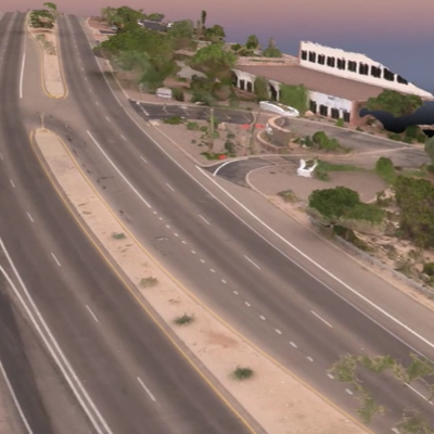
Utilizing an Unmanned Aerial Vehicle (UAV), commonly known as a drone, overcomes these limitations. Today, drones allow for fast, safe, and efficient engineering data collection, as well as high-fidelity 2D and 3D data visualization.
Dr. Kwasniak is a co-founder of the drone investigation forensic analysis firm and is a Certified Remote Pilot. Our team has performed numerous challenging drone data collection flights for complex engineering and forensic projects.
Visit DroneInvestigation.com