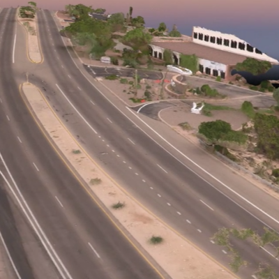
Typically, engineering data, such as roadway geometric features, building dimensions, and vehicle profiles, are collected using a measurement tape, a total station, and a 3D scanner. Each of these methods has its own advantages and disadvantages. Total station data collection and 3D scanner data collection are time consuming, require expensive equipment, and sometimes may expose the crew to vehicular traffic. Also, the visualization of collected data in the form of 2D and 3D models is limited.
Utilizing an Unmanned Aerial Vehicle (UAV), a type of aircraft with no onboard crew or passengers and commonly known as a drone, can overcome those limitations. Today, drones allow for fast, safe, and efficient engineering data collection, as well as allowing for 2D and 3D data visualization.
Dr. Kwasniak is a co-founder of the drone investigation forensic analysis firm. He is also a certified remote pilot. Our team has performed numerous challenging drone data collection flights for engineering and forensic projects. To learn more about our drone data collection services, please visit droneinvestigation.com


